
Issue 003 · Lead investigation
The Earth feels restless.
Is it?
At first, an earthquake was blamed for a catastrophic collapse in Nepal. The evidence now points the other way. What else are we connecting too quickly?
The correction
The signal was real.
The first causal story was wrong.
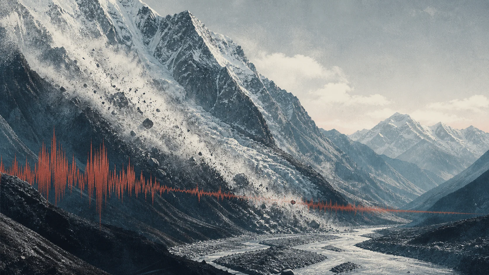
On 26 August, something in the Himalaya registered with energy equivalent to a magnitude 5.2 earthquake. Early accounts made the intuitive leap: shaking, then collapse, then flood.
USGS now places the arrow the other way around. A glacial collapse on Lāngtāng Lirung produced the seismic energy, then ice, rock, water and debris travelled through the river system for about 100 kilometres.
Substantive scientific update · 3 September
The collapse began the disaster.
The valley amplified it.
A multi-institution reconstruction published in Chinese Science Bulletin now establishes the missing middle of the causal chain: the destructive flow grew substantially after the initial ice-rock failure.
A high-altitude mass detached at about 5,200 metres.
The moving mass entrained large amounts of loose rock and sediment.
Debris mixed with river water and sediment near 4,000 metres.
Progressive entrainment helped turn the initial collapse into a devastating debris flow.
Entrainment amplification
Valley erosion and material entrainment were not incidental aftermath. The reconstruction identifies them as a major reason the flow became so destructive downstream.
Signals before failure
Researchers found anomalous seismic signals in the source area hours before the main collapse. Separate satellite analyses report acceleration, surface change, sediment-rich meltwater and a developing bedrock crack.
These observations do not yet constitute a reliable warning rule.Climate and the ice-rock interface
Long-term glacier motion, a warmer-than-usual spring and summer, meltwater and high-elevation permafrost degradation may have weakened the system. No major short-term rainfall trigger was found.
This is not quantified attribution to human-caused climate change.Live human status · 3 September
38 Australians remain unaccounted for.
Australia now reports an A$11 million humanitarian package and is deploying specialist drone operators. Nepal's official registers remain live and must not be collapsed into one apparently definitive number.
NDRRMA · 2 September1,204 recovered4,216 out of contact
Nepal Police · reported 3 September1,222 recovered4,875 missing
Feels high / is high
A dramatic month is not yet a trend.
Lens queried USGS ComCat at one consistent threshold and date cutoff.
USGS ComCat · M7+ · 1 January–28 August for each year · queried 28 August 2026. Catalogue revisions can change counts.
Make every arrow earn its label
Some of it connects. Some of it does not.
Plate tectonics
Collision loads the Himalayan fault system with the energy behind major natural earthquakes.
Direct human activity
Injection, extraction, mining and reservoirs can trigger earthquakes in particular settings.
Water and ice
Changing surface loads can affect deformation and sometimes timing. They do not create plate-collision energy.
Climate, melt and permafrost
The new reconstruction supports several weakening factors. It does not quantify the contribution of human-caused warming to this collapse.
Solar causation
Solar activity affects technology. USGS finds no demonstrated causal relationship with earthquakes.
Show me the evidence
Here is what supports the story—and where certainty stops.
Scientific and official records checked through 3 September 2026. The 22-kilometre entrainment-amplification mechanism is now established by a published reconstruction. Reported seismic and satellite precursors remain provisional and do not show that this collapse was predictably imminent. Climate-related preconditioning is supported; quantified attribution to human-caused climate change is not established.
USGS reports that a glacial collapse generated energy equivalent to M5.2, followed by a second M4.2-equivalent signal, and that debris and flooding travelled about 100 kilometres.
U.S. Geological Survey
Open record ↗A published multi-institution reconstruction finds that the initial high-altitude ice-rock collapse scoured and entrained loose material along roughly 22 kilometres of steep valley, then coupled with river water and sediment; this progressive enlargement was a major part of the downstream destructive mechanism.
Chinese Science Bulletin and Chinese Academy of Sciences
Open record ↗Researchers detected several anomalous source-area seismic signals in the hours before the main failure, some near reported smaller ice or snow movements. The team says multi-station, infrasound and video confirmation is still required before treating them as reliable precursors.
Chinese Academy of Sciences summary of the published reconstruction
Open record ↗Independent satellite analyses report acceleration of the glacier-rock mass before collapse, surface change, sediment-rich meltwater and a developing bedrock crack. These are retrospective warning signs, not proof that the timing of failure could have been forecast.
Nature and ABC reporting on the HiRISK assessment
Open record ↗As reported on 2–3 September, NDRRMA recorded 1,204 bodies recovered and 4,216 people out of contact, while Nepal Police recorded 1,222 recovered and 4,875 missing. The registers use different accounting systems and must remain separate.
NDRRMA and Nepal Police status reports
Open record ↗On 3 September Australia reported 38 Australians unaccounted for and a total Australian humanitarian package of A$11 million, including a specialist drone team and disaster-response personnel.
Australian Minister for Foreign Affairs
Open record ↗A Lens query of USGS ComCat found 11 M7+ earthquakes from 1 January to 28 August 2026, compared with 4 to 16 over the same cutoff in 2020–25; that does not establish an abnormal global surge.
Lens calculation from USGS ComCat
Open record ↗Reservoir impoundment, mining, fluid withdrawal and injection can induce earthquakes; most are small, but damaging induced events have occurred.
U.S. Geological Survey
Open record ↗Peer-reviewed research supports seasonal hydrological loading as a modulator of deformation and some Himalayan seismic timing, not the source of plate-collision energy.
Nature Communications
Open record ↗USGS says no causal relationship between space weather and earthquakes has been demonstrated and earthquake occurrence does not follow the Sun's 11-year variability.
U.S. Geological Survey
Open record ↗NASA says solar output has no net rise since the 1950s capable of explaining modern warming; surface warming with stratospheric cooling is inconsistent with the Sun as the main driver.
NASA
Open record ↗The reconstruction identifies long-term glacier motion, an unusually warm spring and summer, increased meltwater and high-elevation permafrost degradation as possible weakening factors, and finds no major short-term rainfall trigger.
Chinese Science Bulletin and Chinese Academy of Sciences
Open record ↗The admitted evidence does not quantify how much human-caused climate change contributed to the specific 26 August collapse.
Lens attribution boundary
Lens assessmentHow we checked it Read the reporting notes
The question
Separate the Nepal collapse's causal sequence from tectonic earthquakes, then test whether the apparent 2026 cluster, climate, direct human activity or solar activity establishes a shared cause.
Best-supported answer
The initial ice-rock collapse was only the first stage. A published multi-institution reconstruction finds that the flow scoured and entrained material along roughly 22 kilometres of steep valley, then mixed with river water and sediment; this progressive enlargement substantially amplified its downstream destructive power. Seismic anomalies and satellite-observed acceleration before failure are important monitoring leads, not a demonstrated warning system. The study supports warmer-season meltwater and permafrost degradation as possible preconditioning, but does not quantify anthropogenic climate attribution.
What we still do not know
- The final Nepal and Tibet casualty and missing-person totals
- Whether multi-station seismic, infrasound and video analysis will validate the reported precursor signals
- Whether prospective monitoring can distinguish dangerous acceleration from the many slopes that move without collapsing
- The quantified contribution, if any, of human-caused climate change to this event
- Whether later catalogue revisions alter the 2026 comparison
Checked 3 September 2026 Source packs were used as reporting leads; published evidence was checked independently.
Possible effects · We cannot say how likely
What this could change
The reconstruction could sharpen where monitoring and preparedness are aimed, but the observed precursor signals do not yet provide a tested warning rule or reliable failure time.
Documented action
Researchers reconstructed progressive entrainment over roughly 22 kilometres and reported seismic and satellite-observed changes before the collapse.
What Lens thinks may follow
If those observations can be prospectively validated, agencies could use them to target monitoring, evacuation planning and valley-level hazard mapping more precisely.
Where the connection stopsThe records establish a reconstructed mechanism and retrospective observations, not a validated alert threshold, lead time or operational warning system.
What this depends on—and other possibilities
This depends on
- The reported signals can be detected consistently before other high-mountain failures.
- Monitoring can distinguish dangerous acceleration from movement that does not lead to collapse.
Other explanations
- The signals may be clear only in hindsight.
- Local terrain and sensor coverage may prevent the findings from transferring to other valleys.
How different interpretations could affect what happens next
How people may respond
How the story itself could change what happens
How a cluster of dramatic events is interpreted could change fear, monitoring demand and preparedness even when one global cause is not established.
What the evidence does not showSpecific mechanisms and retrospective signals are supported; a global surge, reliable warning rule and quantified event attribution are not.
One possible path
Not enough evidence yetRetrospective signals are interpreted as research targets
- How it is told
The story separates collapse, amplification and observed pre-failure changes.
- What people may take from it
Researchers and authorities may treat the signals as candidates for prospective testing rather than proof the event was predictable.
- Where attention could turn
Attention moves to thresholds, false alarms and multi-sensor validation.
- What people may do
Scientists and disaster authorities: Test monitoring rules against future slopes and events.
- What could change
A validated rule could eventually change warning practice.
What we know has changedWe have not established that this possible change has happened.
What this does not showA visible precursor after the event is not yet a reliable forecast.
Why we are cautious
Why we cannot tell yet
This is the first time Lens has mapped this path. We have no later evidence showing whether it is happening more, less or about the same.
Signs that would support this path
- A prospectively tested threshold with reported false alarms and missed events.
Signs that would weaken it
- Signals cannot be reproduced outside the original event.
- False alarms remain too frequent for operational use.
This depends on
- The reported signals can be detected consistently before other high-mountain failures.
- Monitoring can distinguish dangerous acceleration from movement that does not lead to collapse.
One possible path
Not enough evidence yetA restless month is interpreted as one connected trend
- How it is told
Several disasters and a global earthquake count appear in one narrative field.
- What people may take from it
Readers may infer abnormality or a shared human cause from proximity and salience.
- Where attention could turn
Attention and anxiety can rise even when mechanisms differ.
- What people may do
Media, communities and policymakers: Demand broad explanations or preparedness measures.
- What could change
Preparedness may improve without the proposed common cause becoming true.
What we know has changedWe have not established that this possible change has happened.
What this does not showSequence, clustering and concern do not establish one trend or cause.
Why we are cautious
Why we cannot tell yet
This is the first time Lens has mapped this path. We have no later evidence showing whether it is happening more, less or about the same.
Signs that would support this path
- Updated downstream runout maps or emergency plans that incorporate progressive entrainment.
Signs that would weaken it
- Later reconstructions materially reduce the role attributed to entrainment.
- Local topography makes the mechanism unsuitable for broader planning.
This depends on
- The reported signals can be detected consistently before other high-mountain failures.
- Monitoring can distinguish dangerous acceleration from movement that does not lead to collapse.
Two ways this could develop
A usable monitoring pattern emerges
If multi-station seismic, satellite, infrasound and field studies reproduce a signal pattern before comparable failures
Then high-risk valleys could receive more targeted surveillance and clearer triggers for precautionary action.
What to watch—and what would weaken it
- A prospectively tested threshold with reported false alarms and missed events.Peer-reviewed validation studies and official mountain-hazard monitoring protocols.
Would weaken this: Signals cannot be reproduced outside the original event. False alarms remain too frequent for operational use.
Scope: High-mountain ice-rock and debris-flow hazards with adequate observation coverage. Horizon: Future field seasons and validation studies; no deployment date is established.
Preparedness improves without prediction
If precursor timing remains unreliable but the entrainment mechanism holds across comparable terrain
Then hazard maps, downstream exposure planning and emergency exercises could improve without claiming that collapse time can be forecast.
What to watch—and what would weaken it
- Updated downstream runout maps or emergency plans that incorporate progressive entrainment.National and regional disaster-management plans and published hazard assessments.
Would weaken this: Later reconstructions materially reduce the role attributed to entrainment. Local topography makes the mechanism unsuitable for broader planning.
Scope: Preparedness and exposure reduction, not event prediction. Horizon: The next hazard-map and emergency-planning revisions.
How do we know?Inspect the evidence and its limits
Evidence used in this assessment
A published multi-institution reconstruction finds that the initial high-altitude ice-rock collapse scoured and entrained loose material along roughly 22 kilometres of steep valley, then coupled with river water and sediment; this progressive enlargement was a major part of the downstream destructive mechanism.
Open evidence ↗Researchers detected several anomalous source-area seismic signals in the hours before the main failure, some near reported smaller ice or snow movements. The team says multi-station, infrasound and video confirmation is still required before treating them as reliable precursors.
Open evidence ↗Independent satellite analyses report acceleration of the glacier-rock mass before collapse, surface change, sediment-rich meltwater and a developing bedrock crack. These are retrospective warning signs, not proof that the timing of failure could have been forecast.
Open evidence ↗What could change this assessment?
- Prospective validation across multiple events.
- A revised reconstruction of the Nepal mechanism.
- An official monitoring protocol with measured performance.
- Evidence that the observed signals are common in non-failing slopes.